Payment & Security
Your payment information is processed securely. We do not store credit card details nor have access to your credit card information.
Description
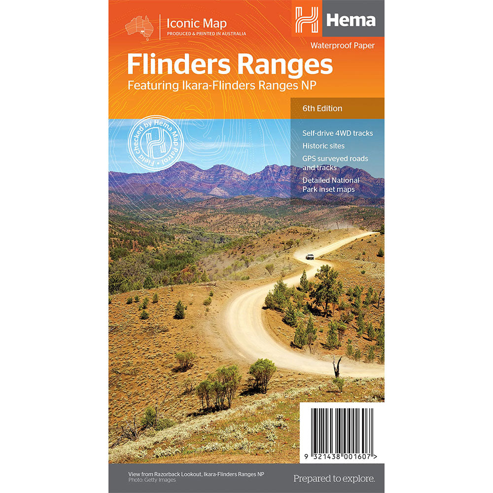
This waterproof map of South Australia's Flinders Ranges includes inset national park maps and visitor information on the spectacular Flinders Ranges and Vulkathunha-Gammon Ranges, including information on the history and traditions of the Adnyamathanha people - making trip planning and navigation simple.
Accompanying tourist information includes self-drive 4WD treks, historic sites and contact details listed for national parks and reserves.
GPS surveyed roads and tracks, Self-drive 4WD tracks, Camping, bush camping, walking tracks, Historic sites, Detailed National Park inset maps
Product Specifications
- GPS surveyed roads and tracks
- Self-drive 4WD tracks
- Camping, bush camping, walking tracks
| Length : 25 cm | Width : 14 cm |
| Height : 0.3 cm |

Easy Returns
Free 365 Day Warranty

Shop & Pay in your currency
Now shipping to 40+ countries

100,000+ Products
Amazing Brands. All Gift Occasions.
Related Products
Top Selling Items
Trending Products


